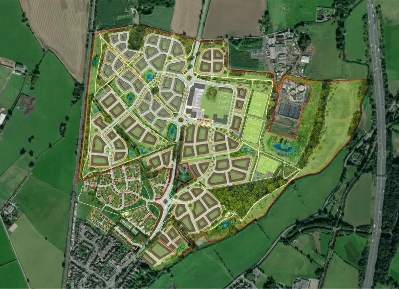
As part of our ongoing Place Research, we took a look at Upton urban extension. Once a test bed for approaches and aims that have since become standard practice, this strategic development has set a template for incorporating key layers of sustainability from Social Diversity, to Environment, Long-term Biodiversity, Local Identity and Liveability. The scheme was led by a prototype design code, which is now standard practice, but back then it was entirely new.
In conclusion, Upton now comprises 1,400 dwellings, with an average density of 52 dwellings per hectare, 22% of which are affordable homes and 100% are rated BREEAM ‘Excellent’. Whilst it provided a prototype for contemporary creative design solutions, we set out to review its real-world success twenty years on, to see how well this early model has stood the test of time. This process was useful to inform thinking and to reflect on the success of our own design coding approaches. At Upton, we found some aspects to be highly successful, promoting the value of design coding, though as an early approach, we found some important aspects to be missing.
The Neighbourhood
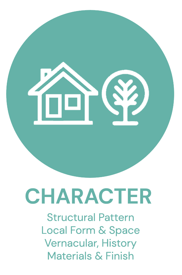
1. The design code has ensured a consistent block structure and logical street hierarchy across the site, as well as detailed public realm standards, down to materials and street furniture, as well as allocation of abundant green space including sustainable drainage, though lacked detail on the character or form of architecture/landscape.
2. Success of early phases in the south central /south east areas deliver the core principles of design code, and combined with the high quality of architecture and landscape quality delivered by the developers, it was driven by a competitive housing market and healthy competition between developers.
3. Later phases show a rather stark character shift from the earlier areas, with reduced consistency in application of the original vision’s design quality, especially in the much reduced architectural detail and very basic planting (often entirely lacking). The reduced consistency was largely down to reduced competition in a constrained housing market after the 2008 economic downturn.
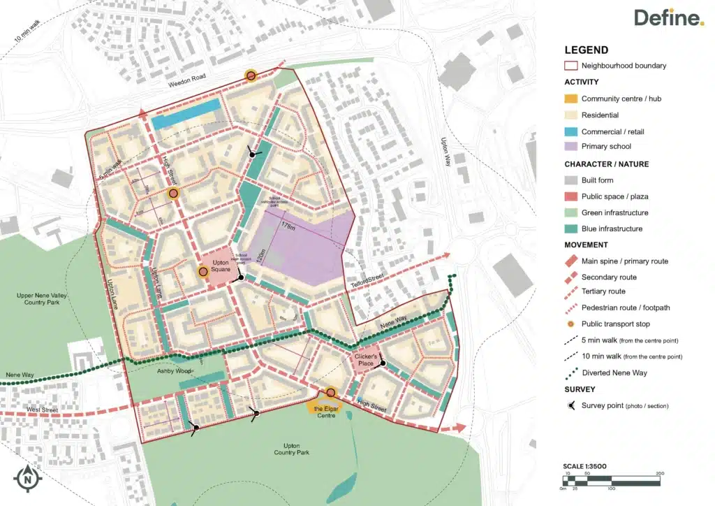
There are four character areas: Urban Boulevard, Neighbourhood Spine, Neighbourhood General, and Neighbourhood Edge. Character areas are driven by the phasing of the development.
- There are three urban block typologies: Courtyard Blocks, Mews Blocks, and Neighbourhood Edge Blocks. These had more effect on the character.
- Though there is an overall visual cohesion in pattern and block structure as laid out by the design guide, there is a high variation in building typologies and material palettes across the various stages of development. Stronger design guidance on architectural types and language could have ensured both a dynamic character but with more consistent standards for style and quality.
- Though there is an overall visual cohesion in pattern and block structure as laid out by the design guide, there is a high variation in building typologies and material palettes across the various stages of development. Stronger design guidance on architectural types and language could have ensured both a dynamic character but with more consistent standards for style and quality.
- Resident’s parking is provided within communal courtyard parking (average 1.5 parking space / unit). Hence, this should result in minimal car dominance in the public realm. The extensive use of communal parking courtyards may create a large number of inactive spaces.
- The school is wrapped with residential single-aspect blocks. The main school access is provided directly from Upton Square and vehicular access is from the other side of the block. It is recommended to understand how the school drop-off area is incorporated.
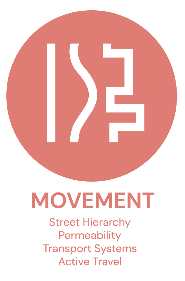
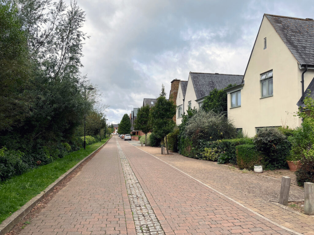
- A defined street network hierarchy, with five key street typologies: Main Street, Streets with SUDS, Streets, Lanes, and Mews. This enhances permeability, encouraging movement and presents a legibility of pedestrian experience.
- The transition between primary, secondary, mews is mirrored by the change of surface material; street width; traffic-calming measures. This slows traffic and promotes walkability, though pedestrians are less prioritised in main streets/higher order routes.
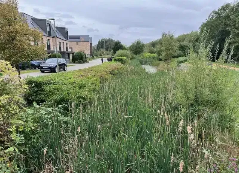
- Linkage to existing diverted PRoW (Nene Way) which runs through site connects to adjacent amenity networks, encouraging movement in-out of Upton.
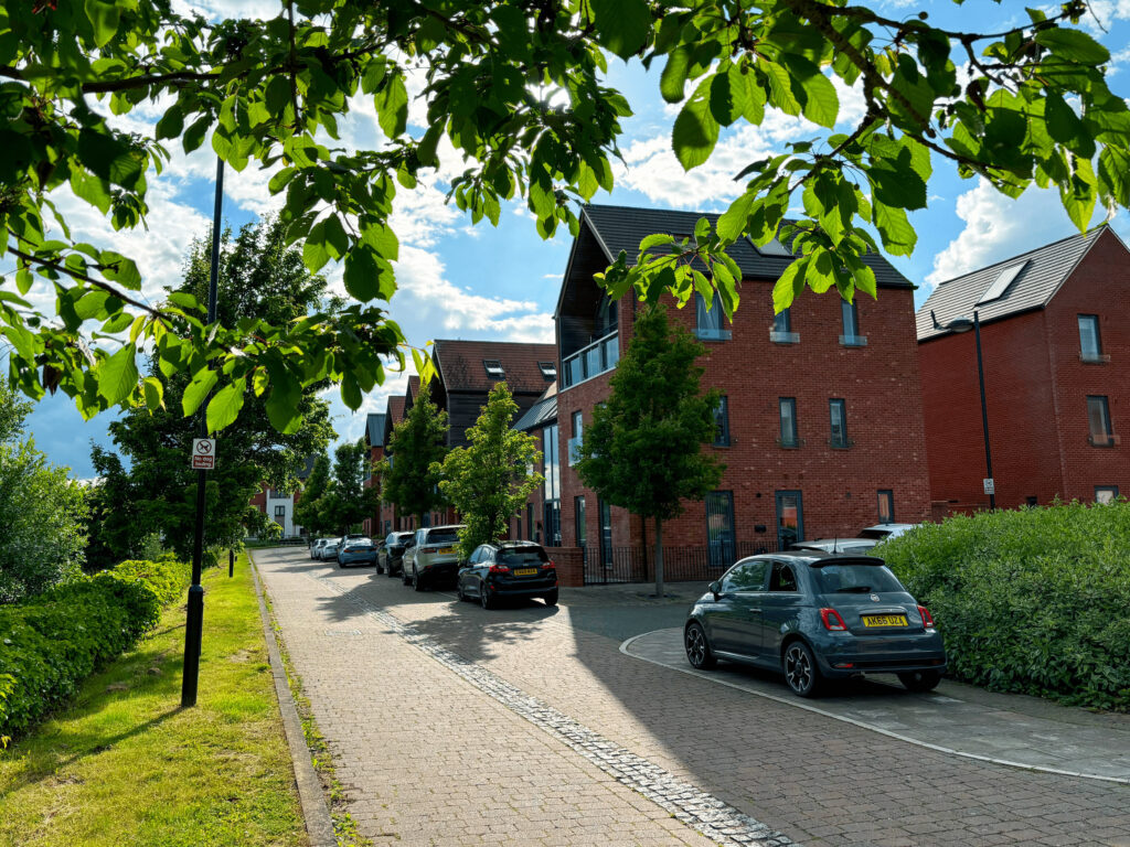
STREET – Knot Tiers Drive
Knot Tiers Drive forms part of the northern edge of the development, where three-storey buildings line the street. The western side features terraced houses, while the eastern side is dominated by apartment blocks. The built form varies significantly across the road, with distinct architectural styles and materials giving each side a unique character. The street’s design is highlighted by a block-paved footpath, with evenly spaced tree planting and robust kerbs. The central SUDs corridor is bordered by a steel knee rail and has minimal planting; access to this green space is intentionally limited.